

- Plan ItBack
- Design ItBack
- Build ItBack
- Homes
- ProductsBack
- CostsBack
- Self Build Cost Calculator
Estimate your project costs instantly with Build It's interactive self-build cost calculator
Calculate Now - Costs & Finance
- Contracts & Warranties
- Build It Estimating Service
Get an accurate, detailed cost breakdown of your project
Submit plans
- EventsBack


 Login/register to save Article for later
House Design Masterclass Part 2: Site Survey and Assessment

Why are self build houses better designed than most of those found on a typical housing estate?
It’s partly because self builders customise their homes to their individual tastes, aspirations and budget. But there is another factor that makes the character of a well-planned project unique – where it’s built.
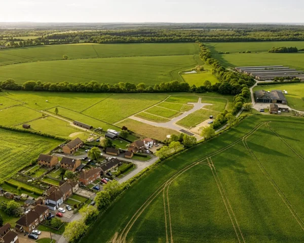
Every plot, however ordinary it may look, has distinct features that can influence the layout and form of the building. Architects use these characteristics to help shape a new dwelling.
Here we are going to suggest some steps to take when you first encounter a plot; the kinds of things that are useful to know even before you own it.
There are many lines of investigation to follow when carrying out a site appraisal. Some inquiries (such as legal issues) have little effect on the design other than reducing or increasing the budget.
In the last masterclass I focused on finding an architect. In this masterclass I am going to concentrate on a few of the more common physical features of a plot that could affect the way that the house plan evolves.
Conduct your own plot research
The first step is to methodically gather as much information as possible about the piece of land and its surroundings. At some point you will need professional help, but you can do much of the legwork yourself.
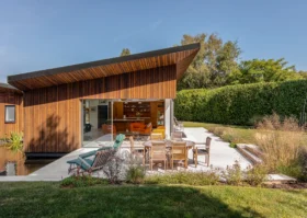
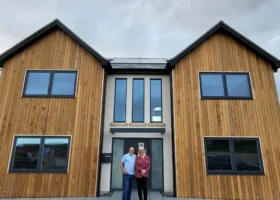
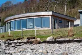
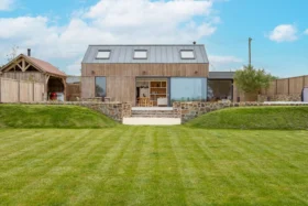
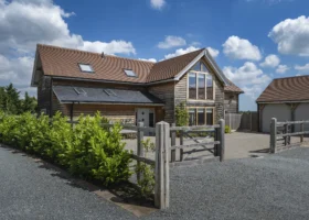
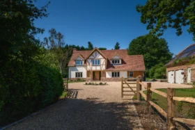
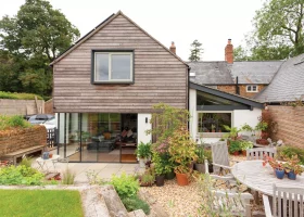
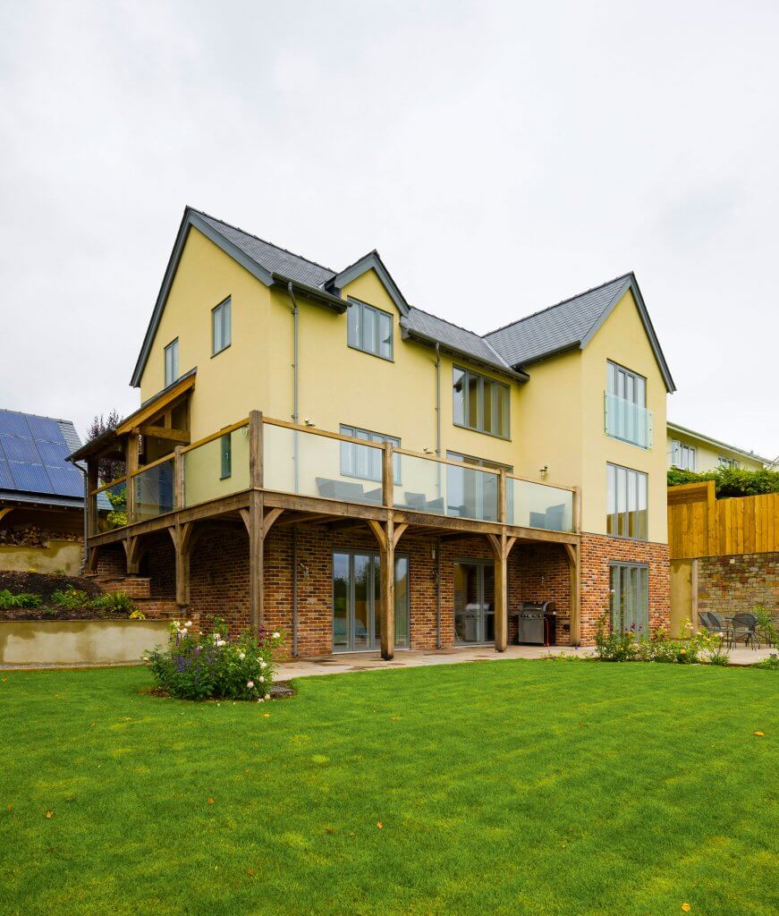
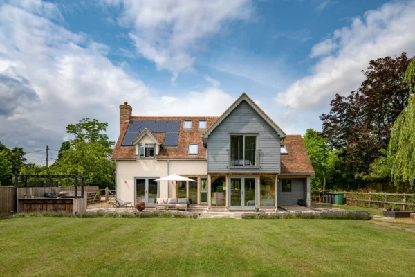
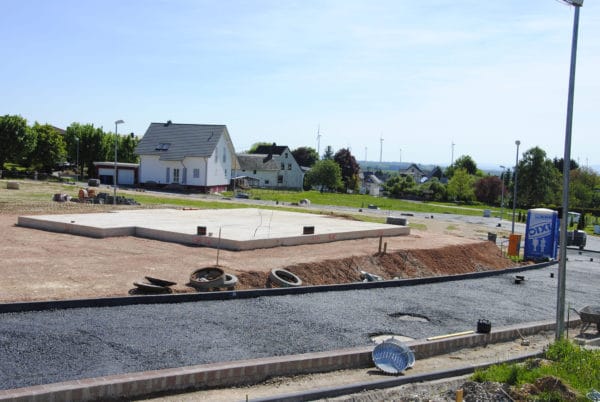
This is the new home of Build It readers Mandy and Tony Slater, who jumped at the chance to develop a sloping patch of land that came up for sale opposite their previous home.
Read more: Energy Efficient Home on a Sloping Plot
The Land Registry issue an Ordnance Survey (OS) map when the purchase is complete. Rather than wait for this, it is quicker to source one from the internet or the local council planning department. Google Earth and other websites are an excellent source of data.
If you’re really keen you could visit the local history section of the public library, where you may find maps going back several hundred years. You might be able to find clues about the former use of the site. You could even uncover any buildings that have been demolished which may have hidden foundations.
One of the most useful sources of information is the council planning department website. Most of these give access to the documents relating to planning applications submitted over the past decade or so.
Browsing through the records of your site and nearby houses should give you a good picture of the sort of designs that achieve planning permission. It could also help uncover any reasons others get refused.
Get a feel for the building plot
Getting hold of a scaled drawing such as an OS map is a good start. However, there is no substitute for making your own freehand sketch plan on location.
The act of drawing encourages you to look carefully at the land and pick out features you might not spot from a brief visit or a photograph. It is just as important to look outwards from the site at the surroundings as it is to scrutinise everything within the boundary.
If possible, get to know the land and how it changes with the time of day and in different weather.
The other benefit of staying around for more than an hour or two is that you will almost certainly bump into some neighbours. The locals may reveal information that is not on the estate agent’s details.
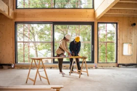
Employ a surveyor
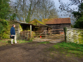
However carefully you make your own investigations, you should commission a professional surveyor to measure and record the plot accurately.
WHAT A TYPICAL SITE SURVEY SHOWS
|
It is possible to create a site plan for a planning application by relying on the OS map – but this is a false economy. These drawings are accurate enough for feasibility studies, but the error factor is quite high when they are used at 1:100 scale.
DS maps only indicate the area and boundaries present when they were created. Any changes that may have been made since then, such as new buildings or altered fences, will be missed.
There are potentially very serious consequences if you discover the ordinance survey is inaccurate when the builder starts marking the foundations. In the worst case, the drawings could be so wrong that the planning approval could be deemed invalid.
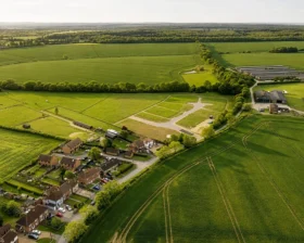
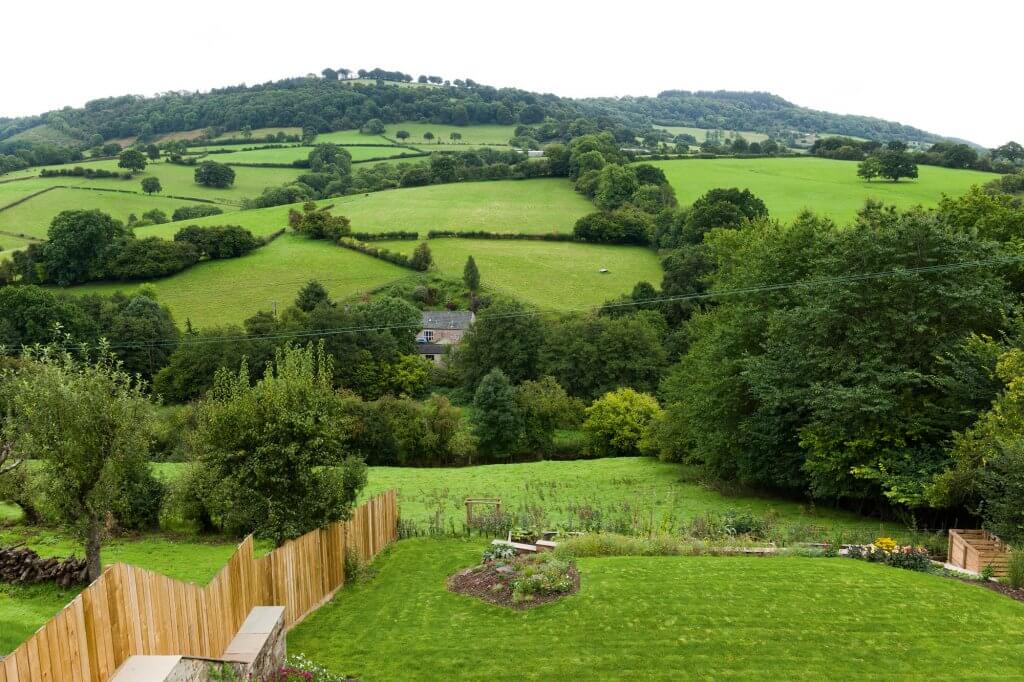
Measure the topography
A site survey should show the level changes, which are easily underestimated by eye. These surveys will also uncover the size, shape and location of all the important features like trees and manholes.

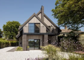
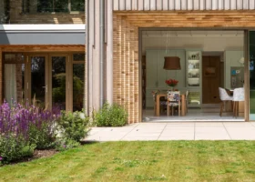
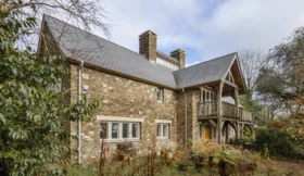
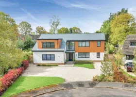
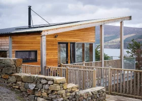
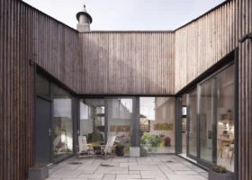
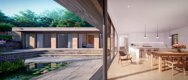
The designers had to negotiate extensively with the local planning department when building this house. This was mainly because of the location within a conservation area and the surrounding trees.
If there are other buildings close to the plot, these should be recorded – in particular footprints and heights, which can be put on planning application.
If there are any trees you need to protect, you will have to give a surveyor’s map to an arboculturalist. They will then identify the species, age and condition of the trees. This is really important if there are tree preservation orders in place, because the design will usually have to work around them. A diameter around the tree represents the root protection area of the tree. There must be no disturbance within this diameter area.
If there is heavy clay soil, any foundations close to trees will need to be very deep, sitting below the influence of roots that suck water out of the ground and cause it to move.
Sometimes the foundations will have to be more than 3m deep. In this case, you may decide to rearrange the layout of the house to avoid any considerable extra cost.
Build with the weather in mind
On a typical plot of land there are likely to be physical features that will influence the layout of your home.
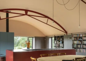
The direction of the sun as it moves across the site will affect the character of the rooms at different times of day. This will depend on the location, plan and orientation.
A sun compass is useful if you want to predict how this will happen in more detail. These devices help designers estimate the direction of the sun at different times of the year. They can predict when and where it will rise and set relative to the house.
A simple block of wood, it has an ordinary compass set into it with the directions of the sun at any given time of year. It can be used on site or placed on a plan to reveal which windows will let in most sunlight.
A more high-tech solution is to use computer software to orientate the site plan in a three-dimensional model. You can run an animation to show you the way that shadows move for any given date and time of day.
It is also important to consider other elements such as wind. In locations where it is particularly fierce, it can blow down fences, tip over garden furniture and batter the rain through any weak points in the construction. Of course, the wind will be more ferocious if the plot is high up. Wind will often be a compromise for a good view.
The most effective way to predict the effect of bad weather is to visit when it occurs, but if this is not possible, a chat with some local residents may add something to the picture.
Plot privacy
If there are any nearby houses with windows that overlook the plot, your privacy could be affected.
Watch out for public footpaths in the countryside. These are very difficult to divert. If you have one positioned close to your boundary or it crosses your land, passing strangers could be a regular occurrence.
You may find it acceptable for them to peer into your land to see you cooking, but less so if you are sitting at your dining table in your pyjamas.
Net curtains rarely look smart. Nosy neighbours or curious ramblers might help you decide where to position more private spaces.
CLOSER LOOK: WHY HASN’T A SITE ALREADY BEEN BUILT ON?Self build plots are like hen’s teeth – there is always a good reason for one becoming available for purchase. Often it is easily identified; perhaps because local planning policy has changed, or a site has had one owner for many years who has recently passed away. If you do not have an instant answer to this question, it’s worth taking the time to investigate until you find it. There are some issues that make a site impossible to develop, most of which should be unearthed by a solicitor’s search or an early enquiry to the planning department. Occasionally, however, a more obscure problem might be lurking in the background. For instance, poor ground conditions or an influential resident living next door. My favourite example of an unexpected problem was when a developer bought |
Julian Owen

You may be interested in


Hi, just wondering if you could advise me on where to obtian detailed floor plans of an existing property for a remodelling?
is the best way to take the measurements myself?